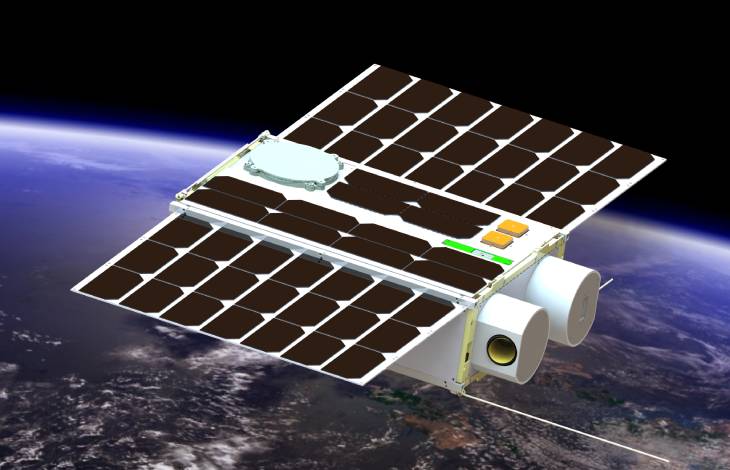
The RF signaling technology demonstrator satellite will be used to experiment with and develop various communication and Global Navigation Satellite Systems (GNSS) augmentation Signaling (GNSSaS) methods and techniques that will enable the UAE to demonstrate innovative approaches and technologies by developing and utilizing a Nano-satellite that will be operated in a low Earth orbit (LEO).
Global Navigation Satellite Systems (GNSS) augmentation Signaling (GNSSaS)
Mission Objectives
Experiment with different GNSS augmentation techniques by transmitting augmentation signals from LEO.
Validate high precision in Orbit position determination algorithms.
Perform remote sensing using GNSS reflectometry.
Monitor effect of the Ionosphere on RF signals.
Research and Development
- GNSS augmentation techniques that makes use of augmentation signal transmission from LEO in order to improve GNSS position determination accuracy on the ground.
- High accuracy in orbit determination for LEO satellites by utilising GNSS signals received from MEO satellites.
- GNSS reflectometry for remote sensing using L5-band.
- Measuring and modelling the effects of the ionosphere on RF signals in the UHF and VHF.
- Antenna development
- GNSS related Algorithms and implementation on Software Defined Radio (both C-code Software and VHDL-Firmware)
- C&DH Software & AOCS algorithms and development.
The Satellite
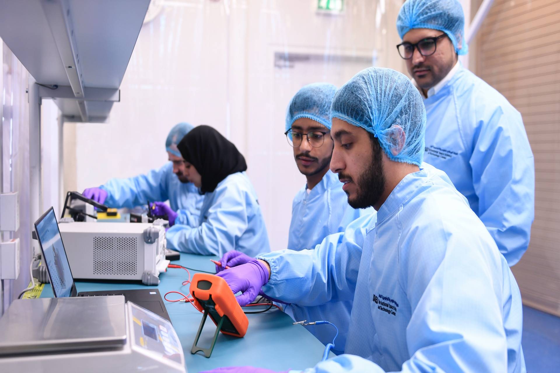
Funding and Support
Funded by the UAE Space Agency and executed including Mission and Spacecraft Design, Assembly, Integration and Test (AIT), at The National Space Science and Technology Center (NSSTC) – In The United Arab Emirates University (UAEU).